Morgiret Beach
A wide pebble beach on the island of Ratonneau, less than ten minutes’ walk from the port of Frioul, with no shade or lifeguards.
Contents · 7 sections
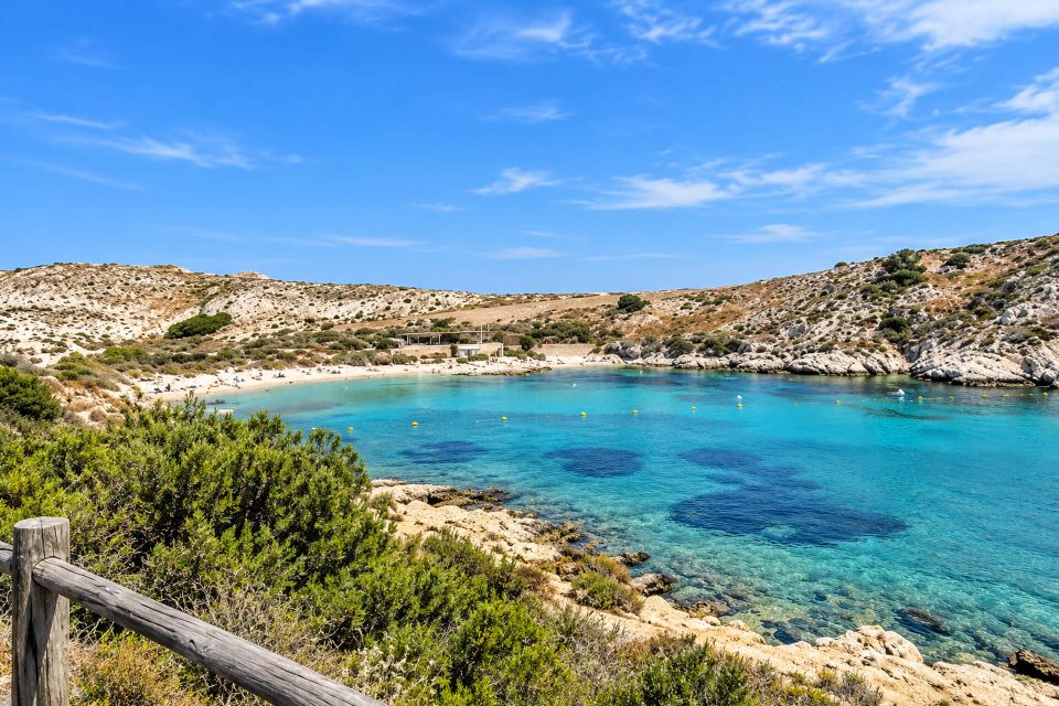
Morgiret Beach is the closest to the Frioul landing stage: a wide pebble beach in the hollow of a calanque on the island of Ratonneau, less than ten minutes’ walk from the Vieux-Port shuttle boat. With no lifeguards and no shade, it suits those who want a quick swim after the crossing, or to wait for the boat back facing the sunset.
Why go
- Proximity: it is the quickest swimming spot to reach from the port of Frioul.
- A calanque sheltered from the east wind, cutting deep into the island.
- The sunset: the City and Tourist Office listing recommends it at the end of the day.
- A slice of history: in the 19th century the cove was home to one of the quarries that supplied the stone for the extensions of the port of Marseille.
The beach
It is a wide pebble beach, with no shady spot at all and no lifeguards: the City of Marseille lists it among its unsupervised bathing areas. So there is no first-aid post and no refreshment kiosk on the beach; the shops and restaurants are in the village, around the harbour.
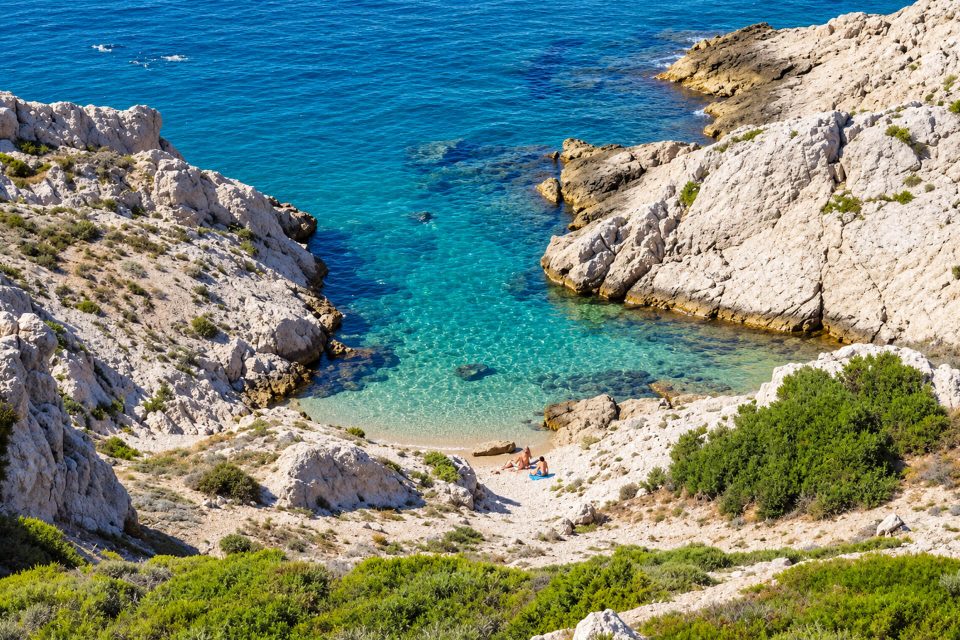
The name is confusing. According to the official listing, the beach is actually in the Calanque de la Courale; “Morgiret” (or “Morgeret”) refers to the whole bay, the Havre de Morgeret. The word is thought to come from a root meaning “height”, echoing the plateau that protects the inlets to the south. From 1822 to around 1880, a quarry worked on this cove was linked to the Ratonneau quarry by a track cut into the rock; its blocks were shipped off to the harbour building sites.
Getting there
- The shuttle boat: the RTM network’s “lebateau” service, leaving from the Vieux-Port ferry terminal, 1 quai de la Fraternité, every day of the year weather permitting; a crossing of about half an hour. As of 1 November 2026, a return ticket cost €17.70 (€11.50 for residents of the Metropolis with proof of address, free for under-4s).
- On foot: as you leave the Frioul ferry terminal, take the wide path towards the Calanque de Saint-Estève and the Hôpital Caroline. On the left, after the toilet block (partly open in summer only), a gap in the rock opens onto the calanque. Less than ten minutes, about 500 m.
- No cars: motor traffic on the island is restricted to public services.
Good to know
- No lifeguards: take care, especially with children, and avoid days of heavy seas.
- Sun: no natural shade; a hat, sunscreen and water are essential. The Park recommends at least 1.5 litres of water per person per half-day.
- Dogs are banned all year round from the City’s bathing areas; in the island’s natural areas, they must be kept on a lead.
- The National Park: the archipelago’s natural areas are in the core of the Park. Stay on the marked paths; fires, barbecues, picking plants, camping and bivouacking are prohibited. Take your rubbish home.
- Smoking is banned on the Marseille coastline.
Nearby
Carrying on along the path, you reach Saint-Estève Beach, supervised in summer, in 20 to 30 minutes, then the Hôpital Caroline and the Calanque de l’Éoube. The Digue Berry, which has linked Ratonneau to Pomègues since 1822, starts near the harbour: it opens up the walk towards the island of Pomègues and the Calanque de la Crine. The village of Port-Frioul, built in the 1970s, gathers the archipelago’s shops.
Sources : Marseille Tourist Office - City of Marseille - Calanques National Park - lebateau (RTM network), Frioul shuttle boat - Wikipedia, Ratonneau - OpenStreetMap
Nearby
 Grand Soufre Beach≈ 5 min on foot
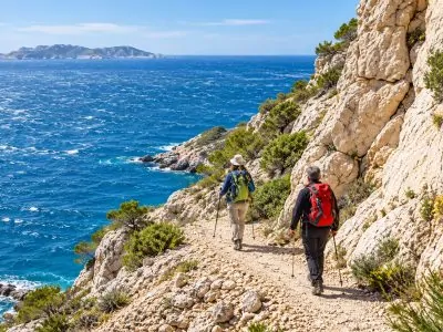 Calanque de Cap Frioul≈ 15 min on foot
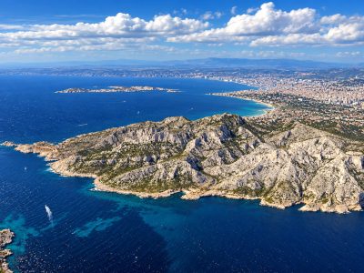 Saint-Estève Beach≈ 15 min on foot
Times calculated from each guide’s coordinates.
Frequently asked questions
How do you get to Morgiret Beach?
Take the lebateau shuttle from the Vieux-Port to the port of Frioul. Follow the path towards Saint-Estève: the beach is on the left, after the toilet block, through a gap in the rock, less than ten minutes away.
Does Morgiret Beach have lifeguards?
No. The City of Marseille lists it among its unsupervised bathing areas. The Frioul’s supervised beach is Saint-Estève, in season.
Is there any shade at Morgiret?
No, there is no shaded area. Bring a hat and sun protection.
Can you go there with a dog?
Dogs are banned all year round from the City’s bathing areas; on the island’s paths, they must be kept on a lead.
Morgiret or Morgeret?
Both spellings exist. According to the official listing, the beach lies in the Calanque de la Courale, at the head of the bay known as the Havre de Morgeret.