
Contents · 7 sections
On the Durance, facing Château-Arnoux
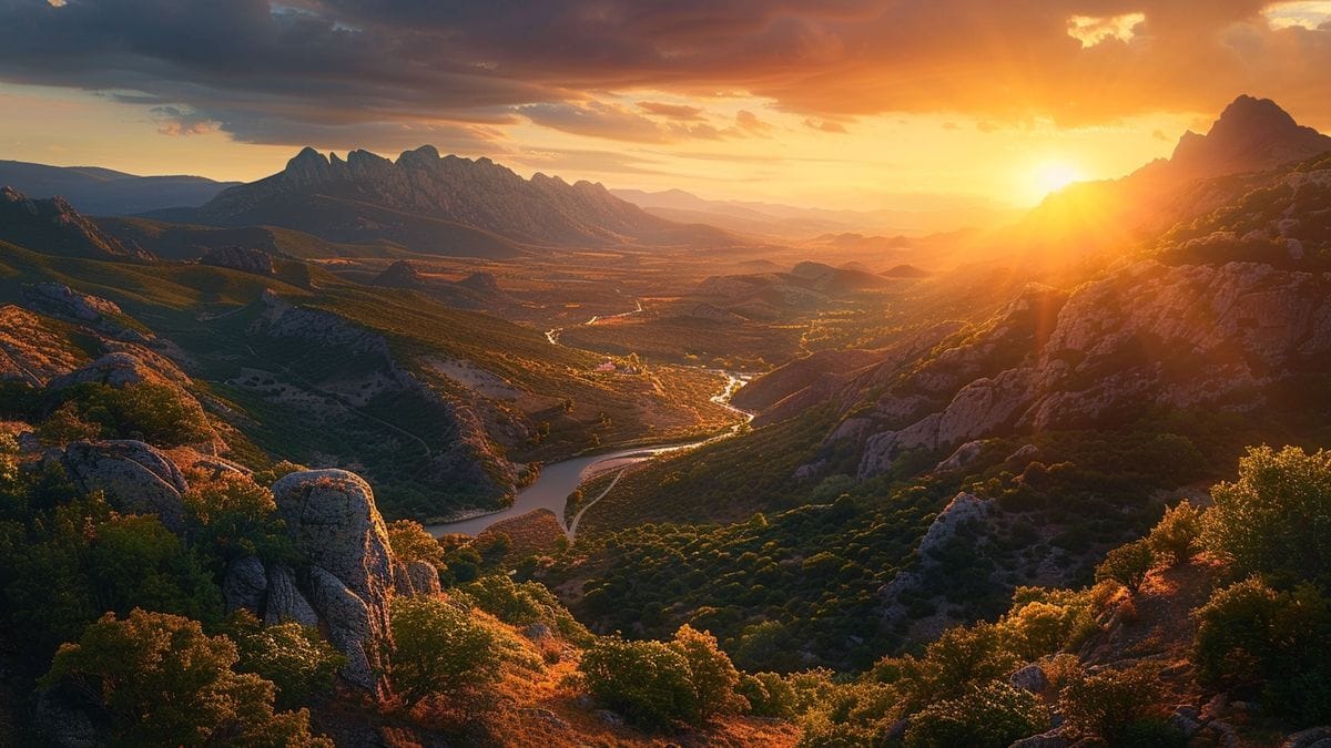
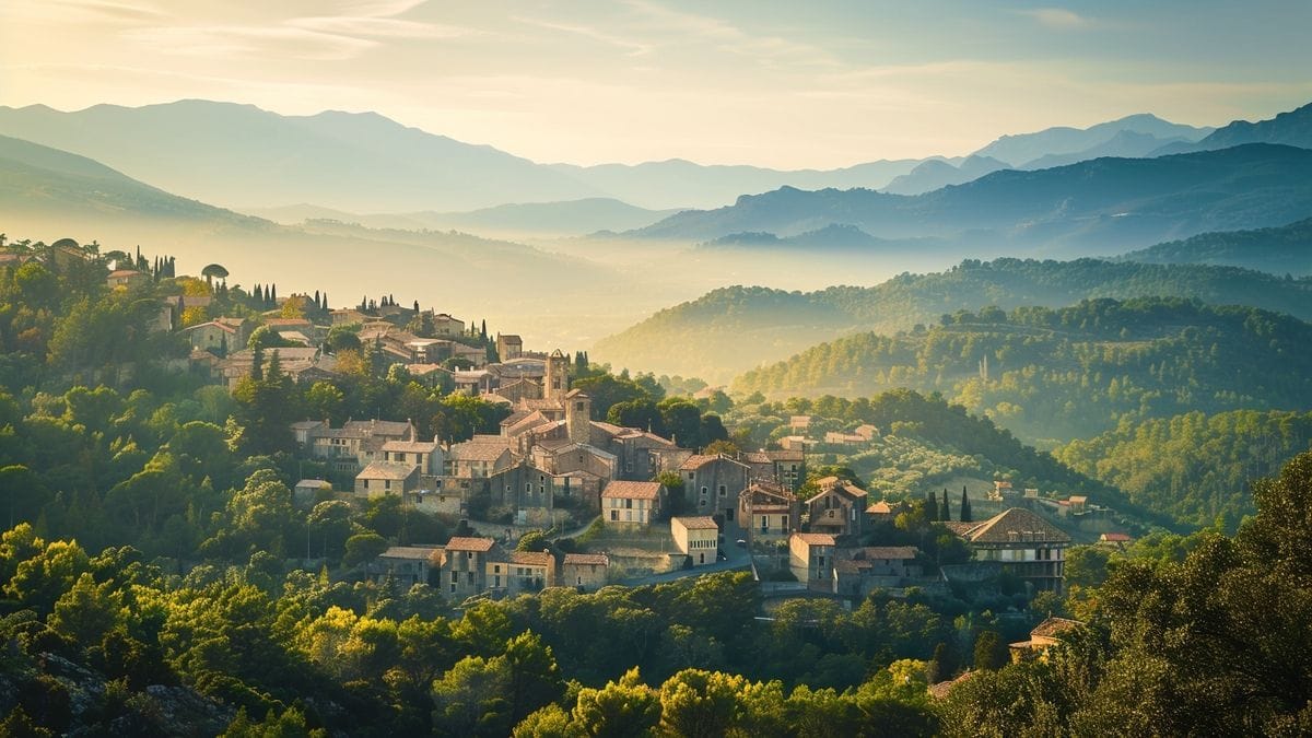
L’Escale lies on the left bank of the Durance, directly opposite Château-Arnoux-Saint-Auban, on the edge of the Préalpes de Digne. The village spreads out at the foot of a steep hill, the Pic Bernard. Its neighbouring communes are Volonne, Barras, Mirabeau, Malijai, Les Mées and Château-Arnoux-Saint-Auban. The RN 85, which follows the Route Napoléon, crosses the commune and spans the Durance on top of the dam, while the RD 4 runs along the reservoir towards Volonne. Château-Arnoux-Saint-Auban station, on the line between Marseille and Grenoble, is close by. INSEE counts 1,427 inhabitants, known as the Escalais.
A village shaped by the dam
Today’s landscape dates from the early 1960s. The L’Escale bridge-dam, brought into service in 1962, holds back the Durance and feeds the EDF canal, which runs to the Oraison power station. The modern village grew up along the water’s edge at the same time as the works. Downstream, the scheme made it possible to farm a plain reclaimed from the old riverbed, now planted with orchards and olive trees. The dam replaced the old Trébaste suspension bridge, built in the 19th century and demolished in 1962.
An old stopping place on the river
The name first appears in 1060 as Scalam. The place-name scholar Ernest Nègre links it to the stepped rocks along the climb to the village; another explanation recalls that the site was once a stopping point for boats on the Durance. Before the valley was flooded, excavations in 1960 and 1961 uncovered a Gallo-Roman settlement with a river port, now lying under the lake. Tradition credits Saint Consorce with founding a hospice for travellers and a chapel.
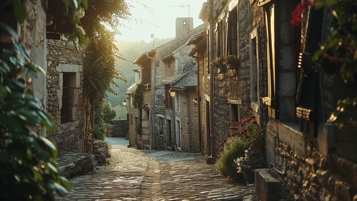
The church of Notre-Dame-de-Mandanois, rebuilt in 1610 and restored in the 19th century, holds a bell dated 1710 and the carved lintel of the former Sainte-Consorce chapel, which is listed as a historic monument. The medieval village stood on the hill of Ville-Vieille, also called Vière: the ruins of a watchtower and of the church of Saint-Michel remain, along with fountains and cobbled lanes.
The lake, a resting place for birds
The reservoir, shared with Château-Arnoux-Saint-Auban and Volonne, is described by the tourist offices as an important bird site, used by many resident and migratory species. An observation hide stands along the path that circles it. Stay on the marked path so as not to disturb the wildlife.
Trails and trail running
The Tour du lac is a loop of about ten kilometres with no real climbing. You can start it on the village square in L’Escale, at the tourist office in Château-Arnoux or at the car park just past the Volonne bridge. A shorter version, the Petit tour du lac, suits families. More demanding, the Balcons de la Durance loop leaves from the school, climbs to the old village of Vière, passes through the old villages of Vignorgues and reaches Volonne before returning along the lake shore.
The commune also maintains permanent, waymarked trail-running routes. One of them, the Pic Bernard trail, starts in the village centre; it follows the course of a local race, the Trail de l’Escalo.
Visiting tips
Allow half a day for the Tour du lac and a stroll around the village. In summer, part of the circuit follows a road without shade, so set off early and carry water. Spring and autumn are milder and well suited to watching birds on passage. The dam leads straight to Château-Arnoux-Saint-Auban; Les Mées and its Pénitents rocks are next door, and Sisteron lies a little further north.
Sources : Wikipédia - INSEE - Comité régional de tourisme Provence-Alpes-Côte d'Azur - Office de tourisme Provence Alpes Digne-les-Bains - Provence 7 - Visorando
Frequently asked questions
Where is L'Escale?
In the Alpes-de-Haute-Provence, on the left bank of the Durance, opposite Château-Arnoux-Saint-Auban and on the edge of the Préalpes de Digne.
Can you walk around the lake at L'Escale?
Yes, a waymarked path with no real climbing circles the reservoir over about ten kilometres and can be started on the village square; a shorter version suits families.
When was the lake at L'Escale created?
In the early 1960s, with the bridge-dam on the Durance brought into service in 1962, which feeds the EDF canal to the Oraison power station.