Calanque de Podestat
Isolated pebble beach, the last calanque of Marseilleveyre before Sormiou, reachable only on foot by the GR 98-51.
Contents · 7 sections
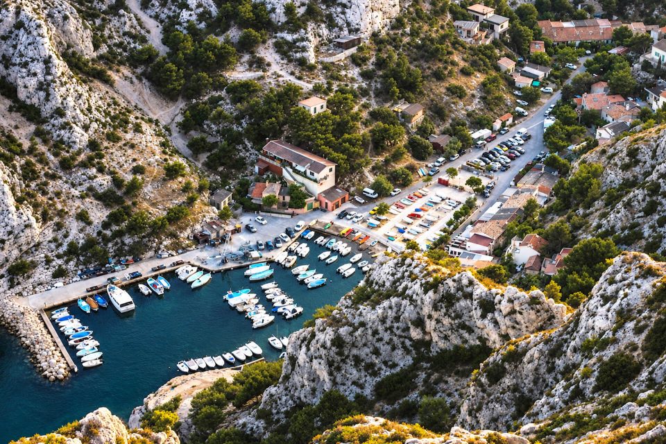
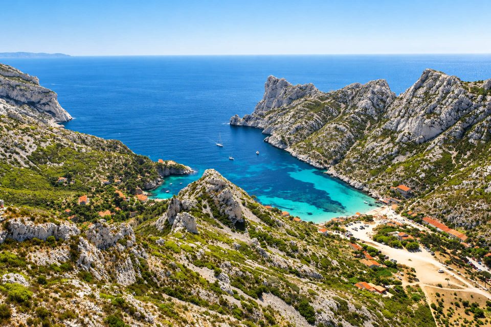
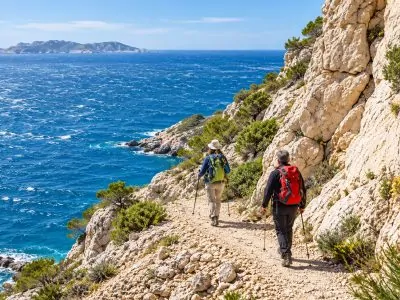
The last calanque of the Marseilleveyre massif before the Col de Sormiou, the Calanque de Podestat is the fourth heading out from Marseille. It lies in the 9th arrondissement, just past the boundary with the 8th, in the core of the Calanques National Park. It can only be reached on foot, by the GR 98-51, and there is nothing there: it is a creek for well-equipped hikers, who carry their own water and food.
Why go
- A pebble beach at the end of a long walk, in a more isolated area than Marseilleveyre.
- A closely monitored site: owned by EDF since 1930 according to the Tourist Office, the calanque is used to observe changes in marine wildlife and plant life.
- A stop on a hike, which can be combined with the summit of Marseilleveyre or the Col de Sormiou.
The calanque
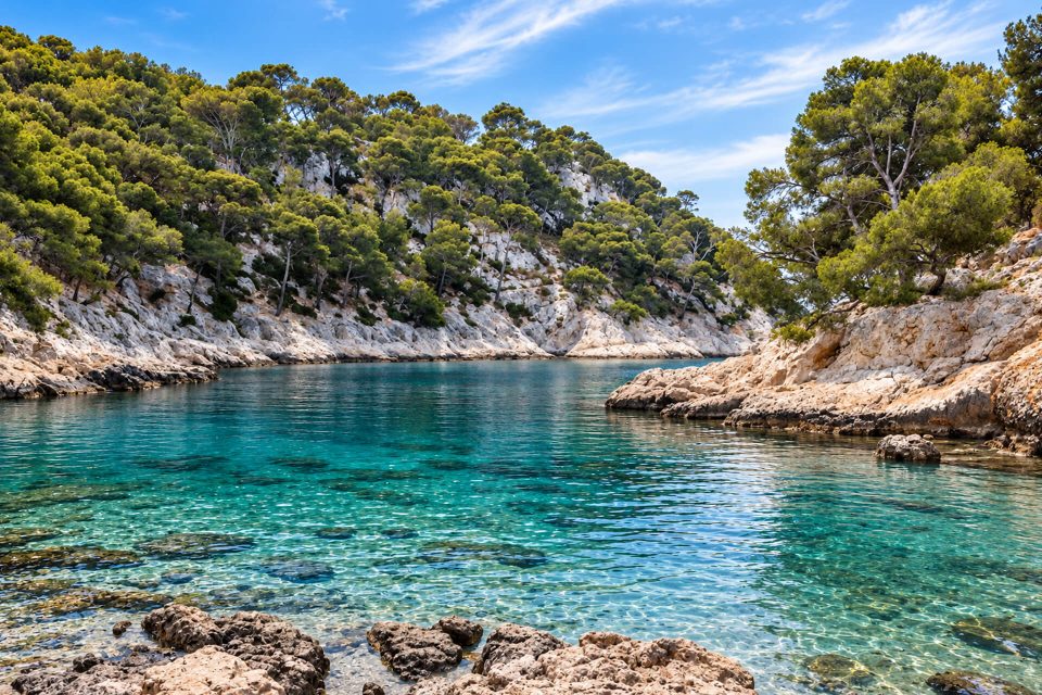
It ends in a pebble beach that continues under the water; around it, the seabed is made of sand of varying coarseness, edged to the east and west by blocks and scree. A large cave, on the west side, gives a little shade. Blocks came away from the cliff a few years ago and reduced the size of the beach: a hiking route advises avoiding the left-hand part of the beach, where they fell. Getting into the water sometimes means uncomfortable rocks.
There is no drinking water, no food and no lifeguards. The Tourist Office reports that there is no longer any Posidonia seagrass meadow in the calanque: roots and dead matte under the sediment show that there once was one, and its disappearance is probably linked to the nearby Cortiou outfall, which has discharged Marseille’s waste water since 1896. A study by the Institut Paul Ricard (2012) recorded changes in the wildlife and plant life, linked to the better treatment of this water and the creation of the National Park.
Getting there
From Callelongue (bus 19 to the Madrague de Montredon terminus, then bus 20 to the Callelongue terminus): follow the GR 98-51 coastal path eastwards, through the Mounine, Marseilleveyre and Queyrons calanques. Published walking times vary: about 2 hours for 3 km according to the Tourist Office, 1 hr 15 according to Made in Marseille. The path is largely flat and runs along the sea, but some sections after Marseilleveyre are steep and tricky.
From Les Baumettes (9th): from the Baumettes car park, free but quickly full, the GR goes over the Col de Sormiou and then the Col de Cortiou before heading down towards Podestat, about 4 km to the turn-off for the calanque. Do not take the small side paths, which are closed; a path marked with black dots then leads down to the water. The descent from Cortiou is tricky.
Either way, good hiking shoes are essential. No road leads to the calanque.
Good to know
- Access in summer: from 1st June to 30 September, the prefecture sets access to the massif each day according to the fire risk; the map for the following day comes out at around 18:00, and a massif shown in red is closed.
- Water: no water point along the way or on site; it can get very hot.
- Park rules: fires, barbecues, smoking and bivouacking banned all year; dogs on a lead; stay on the waymarked paths.
Nearby
The calanque is surrounded by smaller creeks, Les Queyrons to the west and L’Escu, and overlooked by the Têtes de Malvallon and the Plateau de l’Homme Mort. Further west, the Calanque de Marseilleveyre; to the east, via the Col de Cortiou and the Col de Sormiou, the Calanque de Sormiou.
Sources : Marseille Tourist Office - Made in Marseille - Visorando - Calanques National Park - Bouches-du-Rhône Prefecture, access to the massifs - Wikipedia, Massif de Marseilleveyre - OpenStreetMap
Nearby
 Calanque des Queyrons≈ 5 min on foot
 Calanque de Marseilleveyre≈ 15 min on foot
 Calanque de la Mounine≈ 30 min on foot
Times calculated from each guide’s coordinates.
Frequently asked questions
How do I get to the Calanque de Podestat?
On foot only, by the GR 98-51: from Callelongue (bus 19 then 20), or from the Baumettes car park via the Col de Sormiou and the Col de Cortiou.
How long is the walk from Callelongue?
Between 1 hr 15 and 2 hours depending on the source, for about 3 km, with steep sections after Marseilleveyre.
Is there water or a restaurant?
No, there is no drinking water and no food: bring everything.
What sort of beach is there at Podestat?
A pebble beach, with a cave on the west side; avoid the left-hand part, where blocks have fallen.
Are dogs allowed?
Yes, on a lead, as throughout the core of the National Park.