Calanque de la Mounine
Narrow, shallow creek between Callelongue and Marseilleveyre, popular for its rocky seabed to explore with a mask.
Contents · 7 sections
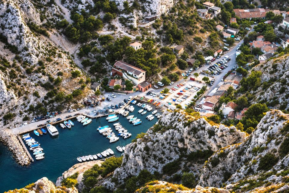
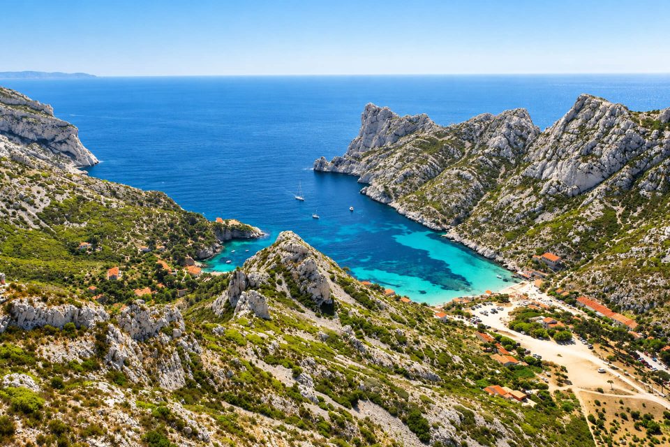
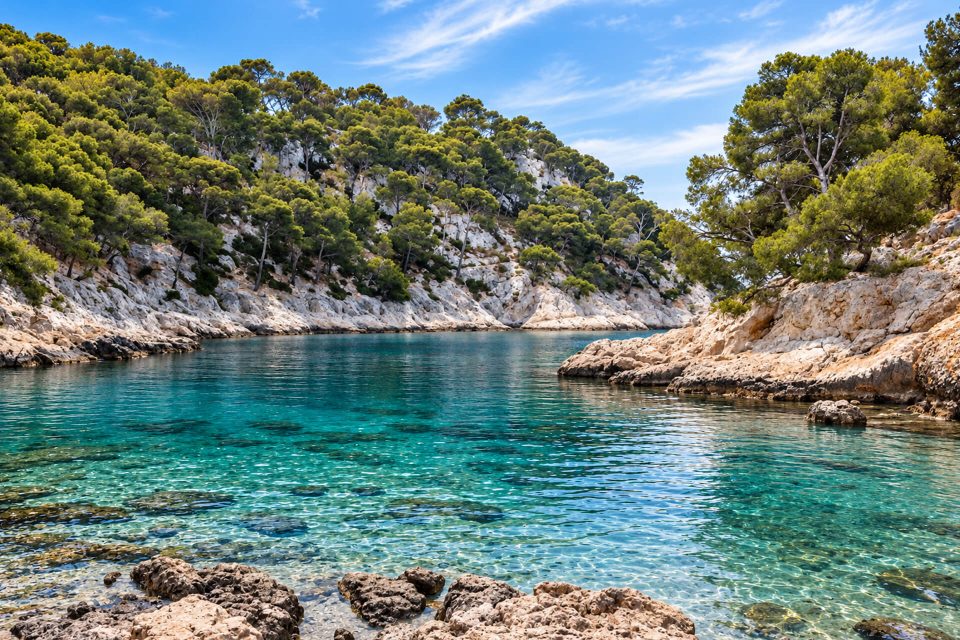
Between Callelongue and the Calanque de Marseilleveyre, the Calanque de la Mounine is a very narrow, shallow creek that you walk past on the coastal path of the Marseilleveyre massif. It lies in the 8th arrondissement, in the core of the Calanques National Park. It is not a beach calanque: people come mainly to look at the seabed with a mask and snorkel, or for a break on the way to Marseilleveyre.
Why stop here
- The seabed: the many hollows in the rock shelter scorpionfish, sea bream, starfish and sea urchins.
- Its closeness: twenty to thirty minutes’ walk from the bus 20 terminus.
- On the way: it lies on the path to the Calanque de Marseilleveyre, which you can go on to afterwards.
The calanque
La Mounine forms a narrow channel of water, sunk deep into the limestone. The depth increases towards the entrance, in the direction of the islet of La Mounine. Beyond it, a shoal about ten metres deep, the Plateau des Chèvres, links the coast to the islands of Jarre and Jarron. Near the islet, the Tourist Office reports strong gusts and currents: do not stray far if the sea is rough.
The sources disagree on whether there is a beach: some speak of a small pebbly inlet, others of a calanque with no beach. Plan to get into the water from the rocks, with water shoes. No lifeguards and no facilities are reported.
The name comes from Provençal; the Tourist Office links it to the shape of the calanque and compares it to mona, the female monkey, a word that spread through the Romance languages with the trade in monkeys.
Getting there
By bus: line 19 to the Madrague de Montredon terminus, then line 20 to the Callelongue terminus.
On foot: the simplest way is the waymarked coastal path of the GR 98-51, starting from Callelongue; fitter walkers can go via the Col du Sémaphore. Allow 20 to 30 minutes depending on the source. The rocks are slippery: proper hiking shoes are recommended. No road goes down to the calanque, and the Callelongue road is closed to cars during the day in summer.
Good to know
- Access in summer: from 1st June to 30 September, the prefecture decides each day whether the massif is open according to the fire risk; the map for the following day comes out at around 18:00.
- No water on site or on the path: take at least one litre per person.
- Park rules: no fires, no smoking and no bivouacking; dogs on a lead; stay on the path and do not disturb the wildlife.
- Rubbish: take yours home, and any you find if you can.
Nearby
The hamlet of Callelongue and its semaphore on one side, the Calanque de Marseilleveyre and its beach on the other, a few tens of minutes’ walk away. An old battery stands beside the path between the two.
Sources : Marseille Tourist Office - Calanques National Park - Bouches-du-Rhône Prefecture, access to the massifs - Made in Marseille - OpenStreetMap
Nearby
 Calanque de Callelongue≈ 15 min on foot
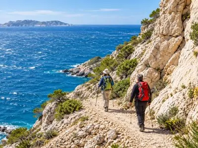 Calanque de Marseilleveyre≈ 15 min on foot
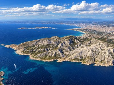 Les Goudes Beach≈ 25 min on foot
Times calculated from each guide’s coordinates.
Frequently asked questions
How do I get to the Calanque de la Mounine?
By bus 19 then 20 to the Callelongue terminus, then 20 to 30 minutes on foot along the waymarked coastal path.
Is there a beach at La Mounine?
The sources differ: at best a small pebbly inlet. Plan to get into the water from the rocks.
Can you snorkel there?
Yes, it is its main attraction: scorpionfish, sea bream, starfish and sea urchins live in the hollows of the rock.
Are dogs allowed?
Yes, on a lead, as throughout the core of the National Park.
Is it open in summer?
Only on days when the massif is open: check the prefecture’s map, published at around 18:00 for the following day.