Beaches and calanques of the 8th, from the Prado to Les Goudes
Prado, Pointe-Rouge, Montredon, the road to Les Goudes and Marseilleveyre: the beaches and calanques of Marseille’s 8th arrondissement.
Contents · 6 sections
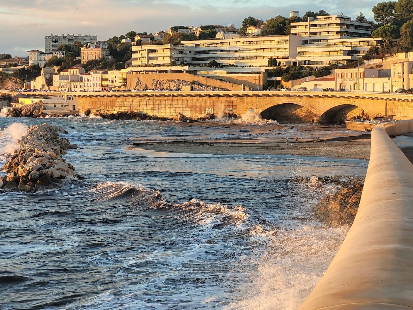
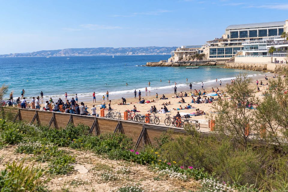
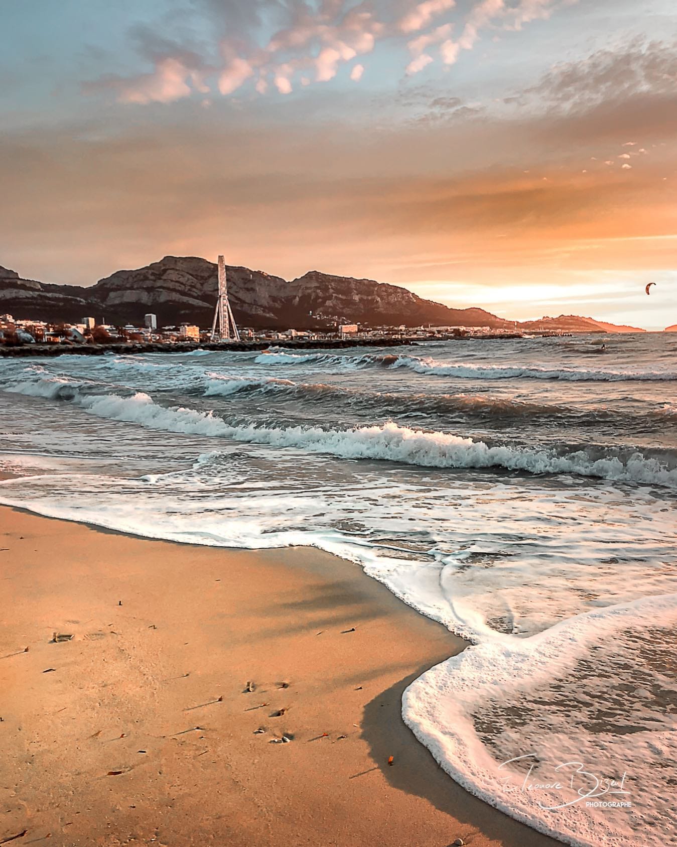
In the 8th arrondissement, the coast changes character from north to south. In the north, the Prado seaside park lines up large beaches with facilities, easy to reach by bus. Further south, after La Pointe-Rouge, the coast narrows: the small coves of Montredon, the Madrague harbour, then the road to Les Goudes and its calanques, as far as Callelongue and the inlets of the Marseilleveyre massif, which can only be reached on foot.
The Prado beaches
- Prado Nord Beach: The northernmost beach in the Prado seaside park: fine gravel, lawns, a first-aid station and the municipal sailing centre.
- Prado Sud Beach: The beach at the foot of the statue of David, at the end of the Avenue du Prado: fine gravel, lawns, a first-aid station in summer.
- Huveaune Beach: A sandy beach at the mouth of the Huveaune, at the Prado: swimming banned for the whole 2026 season because of the water quality.
- Borély Beach: A beach with lifeguards, sand and gravel in front of the Escale Borély and Parc Borély: restaurants, a playground and gardens close by.
- Bonneveine Beach: The Prado beach best equipped for disabled people: beach wheelchairs for swimming, a first-aid station and a kitesurfing channel.
- Vieille Chapelle Beach: A small pebble beach at the south end of the Prado, close to the Bowl du Prado, the bouldering blocks and beach volleyball.
Bus 19 or 83 from Rond-Point du Prado metro station. In 2026, the lifeguard season ran from 29 May to 30 August, generally from 9:30 to 19:00; the 2027 dates will be set by the City in spring.
From La Pointe-Rouge to La Madrague
- Pointe-Rouge Beach: Marseille’s largest sandy beach, sheltered from the wind, with lifeguards, wheelchair accessible and served by the shuttle boat from the Vieux-Port.
- Bain des Dames Beach: A small cove in Montredon, south of La Pointe-Rouge: three beaches of pebbles or gravel, cabanons, no lifeguards.
- Phocéens Beach: A small sandy cove between white rocks in Montredon, formerly Abri-Côtier beach: a quiet swim, with no lifeguards.
- Sablettes Beach (Colombet): A small sandy cove between rocks on the road to La Madrague de Montredon, 150 metres from a bus 19 stop.
- Bonne Brise Beach (Verrerie): A sandy beach lined with cabanons at the end of the Boulevard Bonne Brise, also known as Verrerie, just before the Madrague harbour.
- Madrague Harbour Beach: A small strip of sand at the far end of the Madrague de Montredon harbour, terminus of bus 19 and gateway to the calanques.
Bus 19 runs along this whole stretch of coast to its terminus at Madrague de Montredon. La Pointe-Rouge is the only beach with lifeguards in the area; it is also linked to the Vieux-Port by a shuttle boat from April to September.
The road to Les Goudes
- Calanque de Samena: The first calanque on the southern coast, at the foot of Mont Rose: a small pebble beach 300 metres from a bus 20 stop.
- Calanque du Mauvais Pas: Small rocky calanque between Saména and l’Escalette, reached by a steep staircase and used mainly by divers.
- Calanque de l’Escalette: Small harbour of pointus and remains of a 19th-century lead works on the road to Les Goudes, with an old industrial site open in summer.
- Calanque Blanche: Tiny fine-gravel beach between white rocks on the road to Les Goudes, right by a bus 20 stop.
- Les Goudes Beach: Small sandy cove by the harbour of Les Goudes, a former fishing village at the end of Marseille’s southern coast.
- Maronaise Beach: Small beach of sand and fine gravel just past the harbour of Les Goudes, about 500 metres from a bus 20 stop.
- Baie des Singes: Small cove on Cap Croisette facing the island of Maïre, with a restaurant and its private beach, ten minutes’ walk from Les Goudes.
- Calanque de Callelongue: Hamlet of cabanons and small harbour at the end of the Les Goudes road, terminus of bus 20 and start of the Marseilleveyre trails.
From La Madrague, bus 20 serves each calanque as far as the Callelongue terminus. Parking by the roadside is forbidden: take the bus if you can, especially in summer.
The Marseilleveyre massif, on foot
- Calanque de la Mounine: Narrow, shallow creek between Callelongue and Marseilleveyre, popular for its rocky seabed to explore with a mask.
- Calanque de Marseilleveyre: Beach of sand and pebbles, cabanons and a view of Riou, less than an hour’s walk from the bus 20 terminus at Callelongue.
- Calanque des Queyrons: Small creek of pebbles and large blocks between Marseilleveyre and Podestat, about an hour’s walk from Callelongue.
These three calanques are reached by the coastal path from Callelongue, between twenty minutes and an hour’s walk. There is no water along the way. From 1st June to 30 September, access to the massifs is regulated every day according to the fire risk: the prefecture’s map for the following day is published at around 18:00. On red days, the paths are closed.
Sources : My Guide Marseille listings checked on 3 November 2026 - City of Marseille - Calanques National Park - RTM - Marseille Tourist Office
Places in this article
- 1Prado Nord Beach
- 2Prado Sud Beach
- 3Huveaune Beach
- 4Borély Beach
- 5Bonneveine Beach
- 6Vieille Chapelle Beach
- 7Pointe-Rouge Beach
- 8Bain des Dames Beach
- 9Phocéens Beach
- 10Sablettes Beach (Colombet)
- 11Bonne Brise Beach (Verrerie)
- 12Madrague Harbour Beach
Frequently asked questions
What is the largest sandy beach in Marseille?
Pointe-Rouge beach, in the 8th arrondissement.
How do I get to the Prado beaches?
By metro to Rond-Point du Prado, then bus 19 or 83.
Which bus goes to Les Goudes and Callelongue?
Bus 19 to Madrague de Montredon, then bus 20 to Les Goudes or the Callelongue terminus.
Can I swim at Huveaune beach?
No: swimming was banned there for the whole 2026 season because of the water quality.