Maronaise Beach
Small beach of sand and fine gravel just past the harbour of Les Goudes, about 500 metres from a bus 20 stop.
Contents · 7 sections
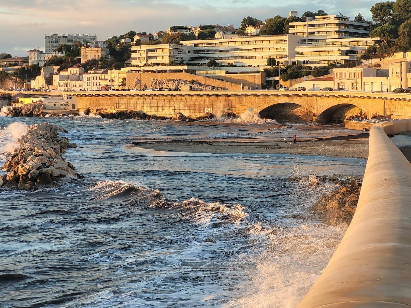
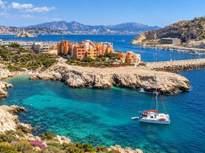
Just past the harbour of Les Goudes, heading towards Cap Croisette (8th arrondissement), the Anse de la Maronaise shelters the village’s second small beach. A cove of sand and fine gravel in a landscape of bare rock, on the edge of the Calanques National Park, reached on foot from the bus 20 stop. It is also spelt ‘Maronnaise’, with two n’s, as the National Park does.
Why go to La Maronaise
- A real little beach, whereas the one at the harbour of Les Goudes amounts to a patch of sand.
- A stop on the easy walk between Callelongue and Les Goudes.
- A site popular with divers, according to beach guides.
The beach
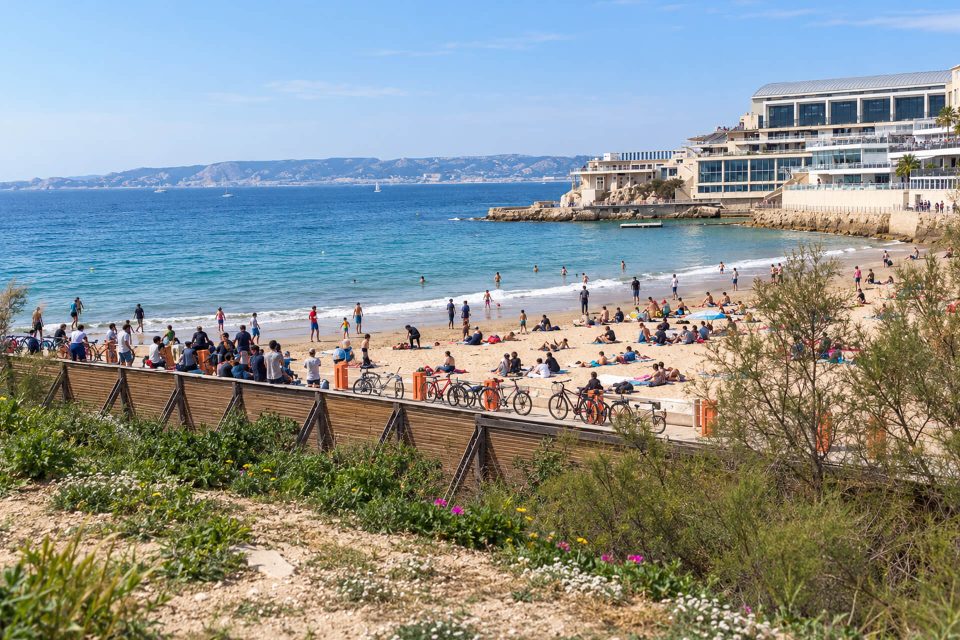
Beach guides describe a small beach of sand and fine gravel, in very arid surroundings. It has no facilities. The National Park states that it has no lifeguards and is very busy in summer, like the harbour beach. It recommends checking the bathing water quality of La Maronnaise on the website of the City of Marseille, which monitors it during the season.
The Park points out that, along this coast, the currents are unpredictable and that swimming from the rocks should only be done in calm seas. The vegetation regeneration areas, marked by stakes and wires, should be walked around.
Getting there
- By bus: bus 19 to the Madrague de Montredon terminus, then bus 20 (towards Callelongue), Les Goudes stop. The beach is then about 500 metres away, crossing the village westwards along the old Maronaise road. According to the RTM timetables for November-December 2026, the 20 leaves every 30 minutes on weekdays, from 6:30 to 19:30; the service is increased in summer.
- By sea: in summer, the shuttle boat from La Pointe-Rouge arrives at the harbour of Les Goudes (in 2026, from 30 May to 30 August, €5 a crossing).
- On foot from Callelongue: the waymarked Callelongue – Les Goudes route (2.7 km, about two hours, easy) passes above the cove; a path leads down to the creek.
- By car: very few spaces, illegal parking fined (€135); take the bus instead.
Good to know
- Works until March 2027 at Les Goudes and Callelongue (clean-up of the old lead deposits): disrupted traffic.
- Dogs: on a lead on the paths; no water point along the way.
- In summer, access to the hills depends each day on the fire risk: map published the day before at around 18:00, or the Mes Calanques app.
- No shops on the beach: the restaurants are at the harbour of Les Goudes.
Around La Maronaise
The harbour and beach of Les Goudes are a few minutes away. Further west, the Baie des Singes and Cap Croisette face the island of Maïre. To the east, the Calanque de Callelongue marks the end of the road.
Sources : Calanques National Park - Marseille Tourist Office - RTM, timetables published as open data (Aix-Marseille-Provence Metropolis) - Provence-Alpes-Côte d’Azur Tourism - OpenStreetMap - Plages.tv, beach guide
Nearby
 Baie des Singes≈ 5 min on foot
 Les Goudes Beach≈ 5 min on foot
 Calanque de Callelongue≈ 15 min on foot
Times calculated from each guide’s coordinates.
Frequently asked questions
How do I get to Maronaise Beach?
Bus 19 to Madrague de Montredon, then bus 20 to the Les Goudes stop; the beach is about 500 metres away on foot, west of the harbour.
Does Maronaise Beach have lifeguards?
No. The National Park states that the two small beaches of Les Goudes, including La Maronaise, have no lifeguards.
Maronaise or Maronnaise?
Both spellings exist: the National Park writes Maronnaise, the OpenStreetMap map Anse de la Maronaise.
Can I bring my dog to La Maronaise?
On the paths, dogs must be kept on a lead; no rule specific to the beach was found.
Is Maronaise Beach busy?
Yes, very busy in summer according to the National Park: come early in the morning.