Calanque de Marseilleveyre
Beach of sand and pebbles, cabanons and a view of Riou, less than an hour’s walk from the bus 20 terminus at Callelongue.
Contents · 8 sections
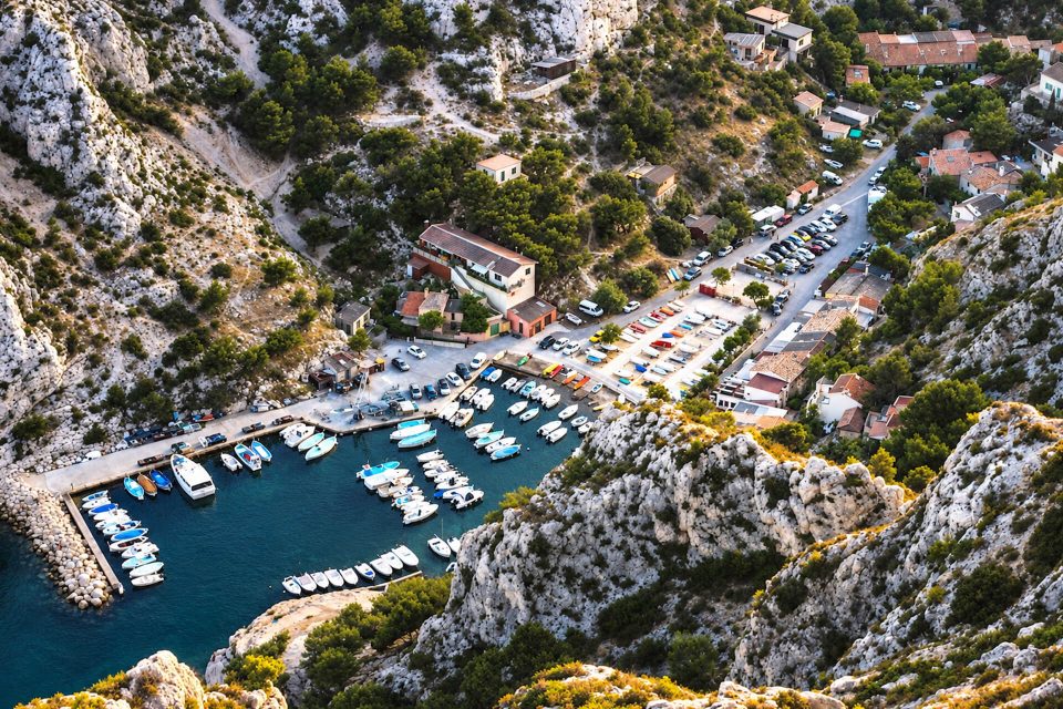
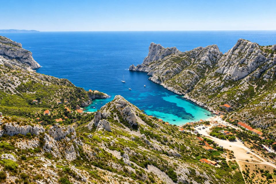
No road goes down to the Calanque de Marseilleveyre: you get there on foot, from Callelongue, or by sea. It lies in the 8th arrondissement, at the foot of the massif whose name it bears, in the core of the Calanques National Park. A beach of sand and pebbles, a dozen cabanons and an open view of the Riou archipelago: it makes a good first calanque for anyone who wants to walk a little without setting off for the whole day.
Why go
- A real beach, of sand and small pebbles, bigger than those of the neighbouring calanques.
- A short walk: about three quarters of an hour to an hour from the bus 20 terminus, on a waymarked path along the sea.
- The view of the Riou archipelago and its islets, and further away of Cap Canaille.
- A restaurant with no electricity, Chez le Belge, set at the water’s edge for more than thirty years.
- A starting point for carrying on to the Calanque des Queyrons and the Calanque de Podestat, or climbing up into the massif.
The calanque
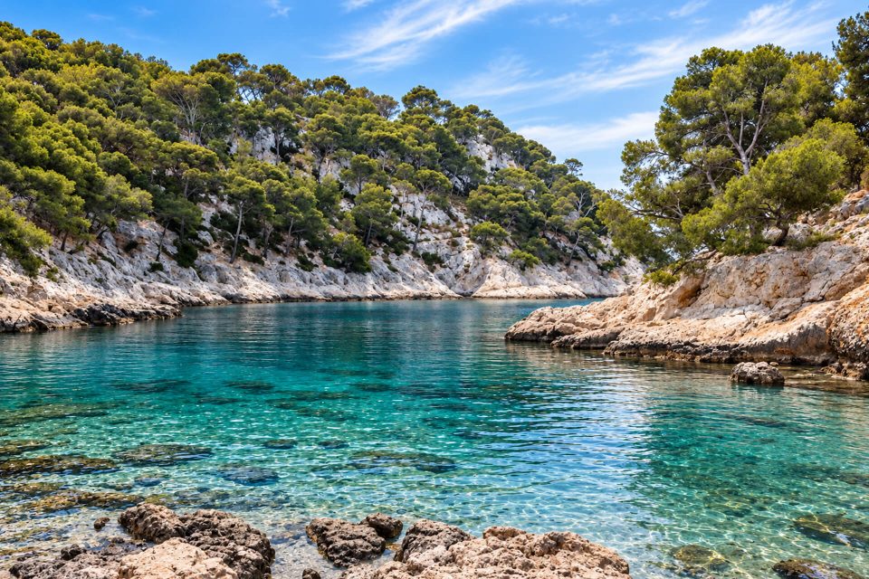
The head of the calanque is taken up by a beach of sand mixed with small pebbles, framed by limestone cliffs. A dozen small cabanons are huddled there, with no running water or electricity. The calanque gets plenty of sun and is often exposed to the mistral. Close to the city and easy to reach, it is very busy in summer and at weekends; it can be almost empty out of season. No lifeguard cover is reported there.
The restaurant Chez le Belge runs with no electricity or telephone: no bookings, cash only. Its opening periods vary depending on the source: from June to October according to the Tourist Office page on the calanque, all year according to the restaurant’s listing updated in May 2026, which states that it opens at lunchtime in winter, lunchtime and evening in summer, and closes in bad weather. Do not count on it without checking first, and bring something to eat.
The name comes from Mont Marseilleveyre (432 m), which overlooks the calanque; according to the Tourist Office, it is said to mean something like ‘see Marseille’ in Provençal, because of the view the summit gives over the city and its harbour.
The Riou archipelago, opposite
From the path and the beach, the islets of Jarre, Jaron and Calseraigne file past, then the island of Riou. The archipelago has belonged to the Conservatoire du littoral since 1992 and is home to protected seabirds, such as Scopoli’s shearwater and the European shag. Access is tightly controlled: on Riou, landing is only allowed by day and on part of the north-west and west coast, between the Monastério and Boulegeade calanques, and dogs are banned. Its seabed, rich in drop-offs, caves and wrecks, is well known to divers; Commander Cousteau carried out archaeological digs there, and it was in this area that remains of Antoine de Saint-Exupéry’s plane were found.
Getting there
By bus: line 19 to the Madrague de Montredon terminus, then line 20 to the Callelongue terminus. The 20 does not run often: look up the RTM timetables, particularly the time of the last bus back.
On foot from Callelongue: follow the waymarked coastal path, the GR 98, shared here with the GR 51. It passes above the Calanque de la Mounine and an old battery before heading down to Marseilleveyre. Allow about 2 km and 45 minutes to an hour depending on the source; the walk is easy but the ground is stony and the polished limestone is slippery in places. Hiking shoes recommended, and at least one litre of water per person. For the return, the Tourist Office suggests climbing back via the Grand Malvallon.
By car: no road leads to the calanque. You have to park at Callelongue, where spaces are scarce and the road is closed to motor vehicles during the day in summer (in 2026: from 7:00 to 19:00, from 5 to 7 June and then from 12 June to 30 August).
By boat: the calanque can also be reached by sea. Within the 300-metre coastal strip, speed is limited to 5 knots; it is forbidden to moor to the yellow buoys and to anchor in the zones where the Park prohibits it (anchoring plan and online map from the Park).
Good to know
- Access in summer: from 1st June to 30 September, access to the massif depends each day on the fire risk. The prefecture publishes the map for the following day at around 18:00; when it is red, the massif is off limits, and only the sea remains open, with no landing allowed.
- No water: no water point is reported on the path or in the calanque, where the cabanons have no running water.
- Park rules: fires, barbecues, smoking, bivouacking and camping are banned all year in the core of the Park; dogs must be kept on a lead; stay on the waymarked paths.
- Regrowing forest: a fire destroyed part of the massif’s forest in February 2013; keep strictly to the path in the areas of regrowth.
- Crowds: set off early in summer; on weekdays and out of season, the calanque is much quieter.
Around Marseilleveyre
Before it, coming from Callelongue, the small Calanque de la Mounine. Beyond, the path continues to the Calanque des Queyrons and then the Calanque de Podestat, more isolated. Above, the summit of Marseilleveyre, reached by steeper paths, and at the start of the path, the hamlet of Callelongue and its semaphore.
Sources : Calanques National Park - Marseille Tourist Office - Bouches-du-Rhône Prefecture, access to the massifs - Wikipedia, Calanque de Marseilleveyre - MyProvence - OpenStreetMap
Nearby
 Calanque des Queyrons≈ 10 min on foot
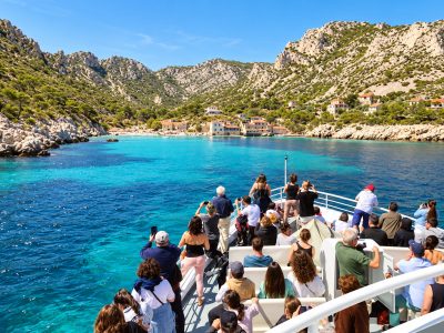 Calanque de la Mounine≈ 15 min on foot
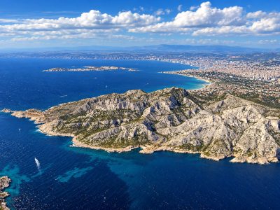 Calanque de Podestat≈ 15 min on foot
Times calculated from each guide’s coordinates.
Frequently asked questions
How do I get to the Calanque de Marseilleveyre?
By bus 19 then 20 to the Callelongue terminus, then 45 minutes to an hour on foot along the waymarked coastal path (GR 98-51). No road leads there.
Is the walk difficult?
No, it is fairly easy and runs along the sea, but the ground is stony and slippery in places: bring hiking shoes.
Is there water or food on site?
No water point. The restaurant Chez le Belge, which has no electricity, only takes cash and does not accept bookings; its opening days vary with the season.
Can I go there in summer?
Yes, if the massif is open that day: from 1 June to 30 September, the prefecture publishes the access map for the following day at around 18:00.
Are dogs allowed?
Yes, on a lead, as everywhere in the core of the National Park.
Are there lifeguards?
No, no lifeguard cover is reported in the calanque.