Madrague Harbour Beach
A small strip of sand at the far end of the Madrague de Montredon harbour, terminus of bus 19 and gateway to the calanques.
Contents · 7 sections
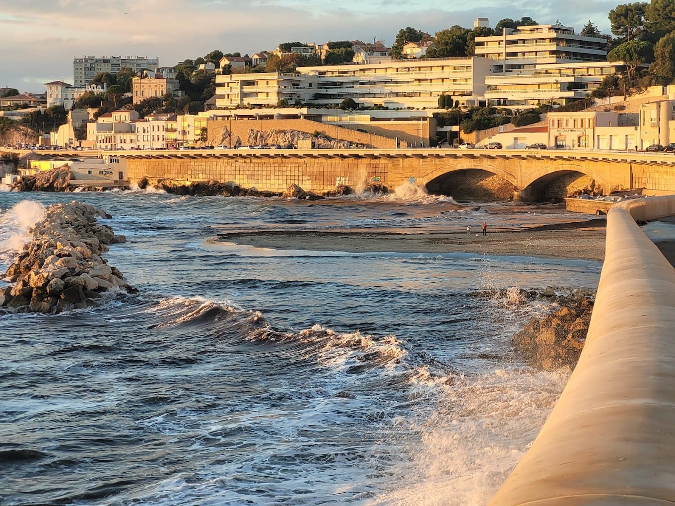
At the far end of the little harbour of Madrague de Montredon, in the 8th arrondissement, a narrow strip of sand stretches out in front of a restaurant, a few metres from the first boats. It is less a swimming beach than a patch of sand facing the harbour: two beach guides report signs banning swimming there. People come mainly because Madrague is the terminus of bus 19 and the starting point for Saména, Les Goudes and the calanques.
Why stop at the Madrague harbour
- The terminus of bus 19, where you catch bus 20 for the calanques coast.
- An old fishing harbour, at the foot of Mont Rose, which the National Park presents as one of its main gateways.
- The start of the paths: the Sentier du Président towards Les Goudes, the beginning of the GR 51-98.
- A patch of sand to sit on facing the fishing boats, more than for swimming.
The beach and the harbour
Beach guides describe a small sandy beach, sometimes mixed with pebbles, at the end of the harbour, on Rue des Arapèdes. The space is very limited. Both report that signs ban swimming, which is understandable in the middle of the boats: follow the signs. No first-aid station is reported. For a swim, Bonne Brise beach is a few minutes to the north, and the Calanque de Saména just to the south.
The name comes from the madrague, a large fixed fishing net: under the Ancien Régime, Marseille had two of these fisheries authorised by the king, and the one at Montredon was the southernmost. The National Park notes that the people of Marseille called the harbour the “calle de Roze”. The district became industrialised from 1810: the long creeping chimney of the former Legré-Mante factory, which carried away the fumes, still towers over Montredon. In 1891, the tramway set up its terminus at Madrague, bringing the southern coast closer to the city centre.
Getting there
- By bus: line 19 (Castellane – Madrague de Montredon), via Rond-Point du Prado (metro 2), to the Madrague de Montredon terminus, less than 200 metres from the harbour. In the evening, the National Park also mentions line 583.
- By car: Avenue de la Madrague de Montredon. Guides advise looking for a space in the neighbouring streets; in summer, the southern coast road is often congested from Pointe-Rouge onwards.
- By bike: there is a LeVélo station at Madrague.
Good to know
- Swimming: banned according to the signs reported by beach guides; check on site.
- Paths: those starting from Mont Rose are open all year round, except when the massifs are closed because of fire risk (in summer, the day’s map is published the evening before at around 18:00).
- Works: until March 2027, a clean-up project on the old industrial deposits is disrupting the road between Madrague and Callelongue. Take the bus if you can.
Around the harbour
Just to the south, Mont Rose (84 metres) and the Calanque de Saména open the Calanques National Park; between the two, the remains of a German anti-tank wall can still be seen by the roadside. To the north, Bonne Brise beach (Verrerie) and the Sablettes cove. Bus 20 then serves L’Escalette, the Calanque Blanche, Les Goudes and Callelongue.
Sources : Calanques National Park - Marseille Tourist Office - RTM, timetables published as open data (Aix-Marseille-Provence Metropolis) - Wikipedia, Montredon (Marseille) - OpenStreetMap - Plages.tv and Bord-de-mer.com, beach guides
Nearby
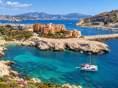 Calanque de Samena≈ 10 min on foot
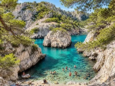 Bonne Brise Beach (Verrerie)≈ 10 min on foot
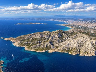 Sablettes Beach (Colombet)≈ 10 min on foot
Times calculated from each guide’s coordinates.
Frequently asked questions
Can I swim at the Madrague harbour beach?
Beach guides report signs banning swimming there, as the beach is inside the harbour. For a swim, go to Bonne Brise or Saména.
How do I get to Madrague de Montredon by bus?
Take bus 19 (Castellane - Madrague de Montredon) to the terminus. Bus 20 leaves from there for Saména, Les Goudes and Callelongue.
Where does the name Madrague come from?
From a madrague, a fishery using a large fixed net authorised by the king under the Ancien Régime: Marseille had two, and the Montredon one was in the south.
Is Madrague in the Calanques National Park?
The Park presents the Mont Rose and Madrague area as one of its main gateways; the Calanque de Saména, just to the south, opens onto its land core area.