Calanque de Morgiou
Narrow calanque inhabited all year: fishermen’s harbour, cabanons, small pebble beach and paths to Cap Morgiou and Sugiton.
Contents · 8 sections
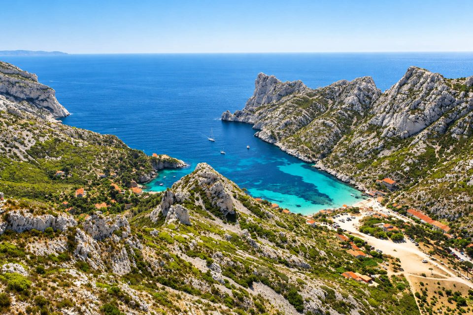
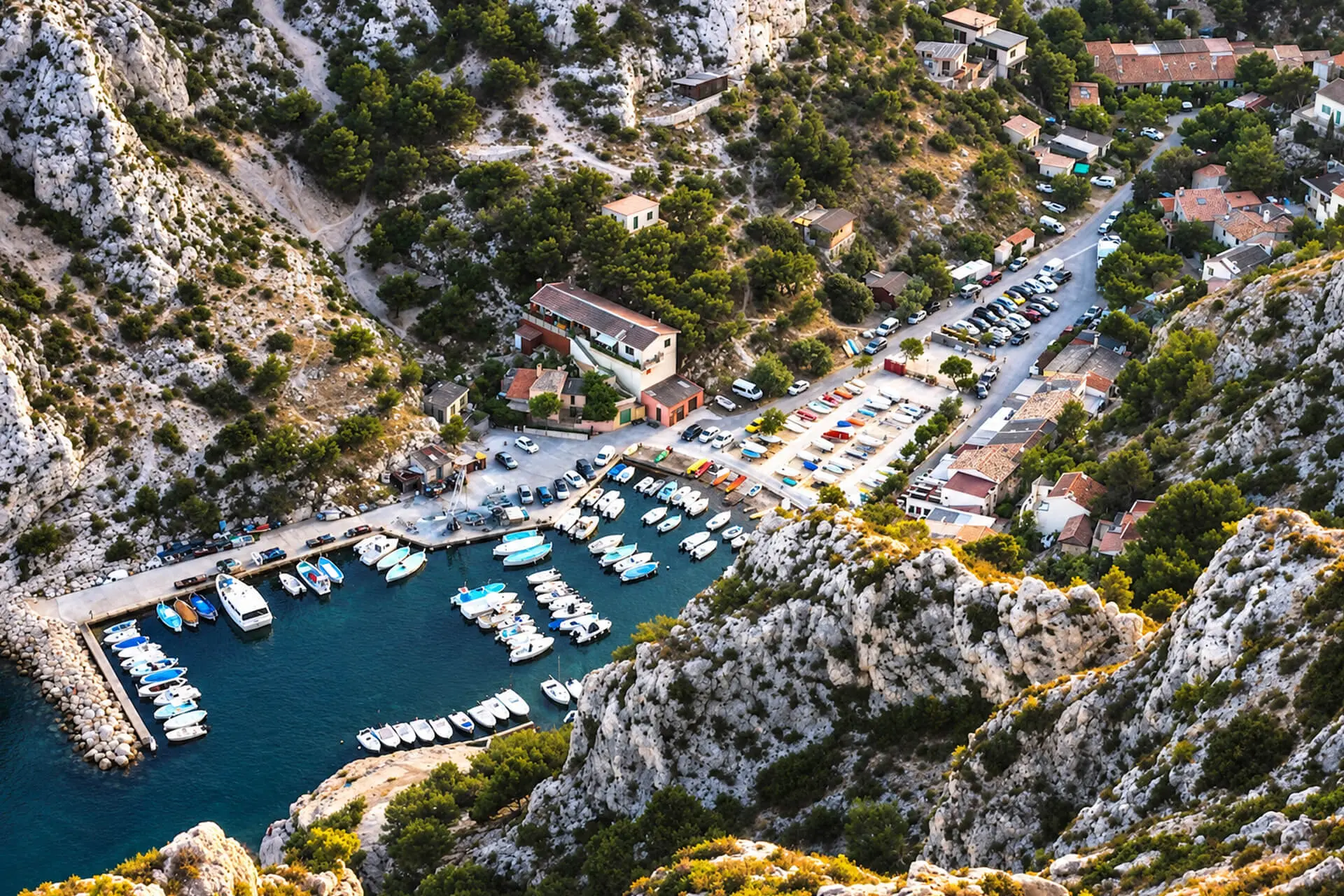
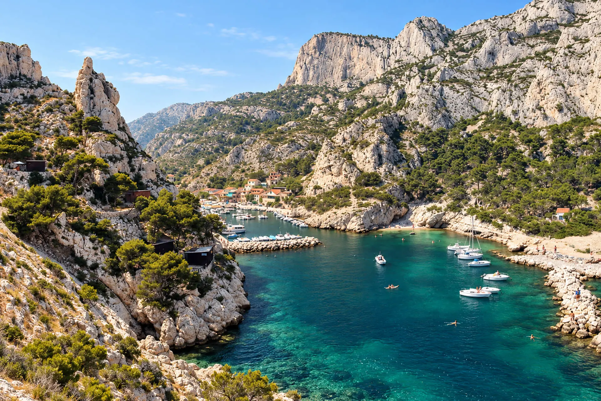
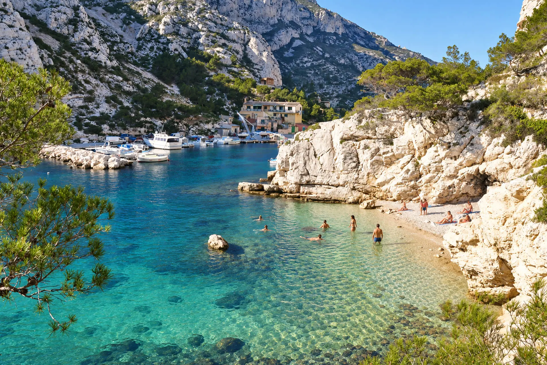
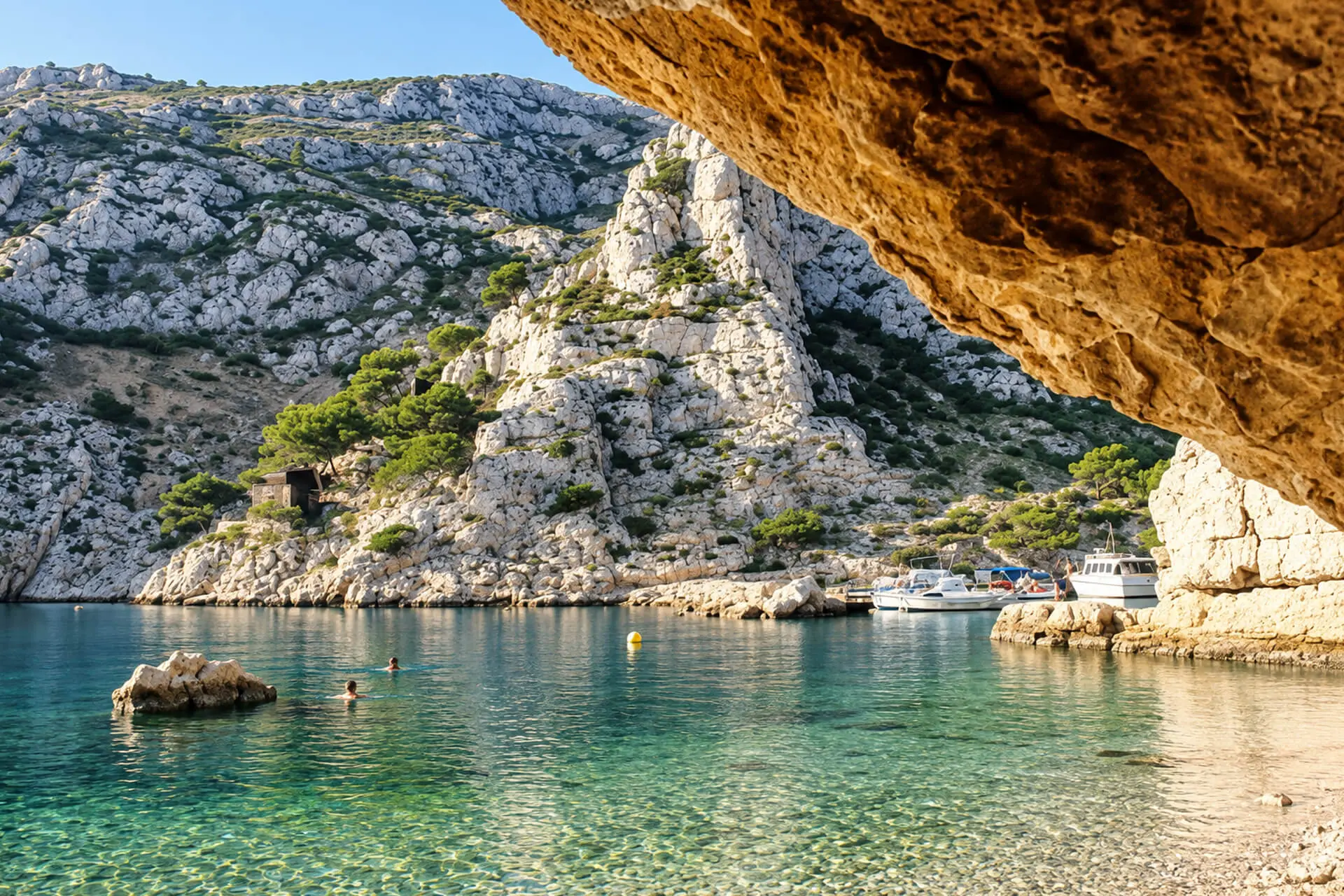
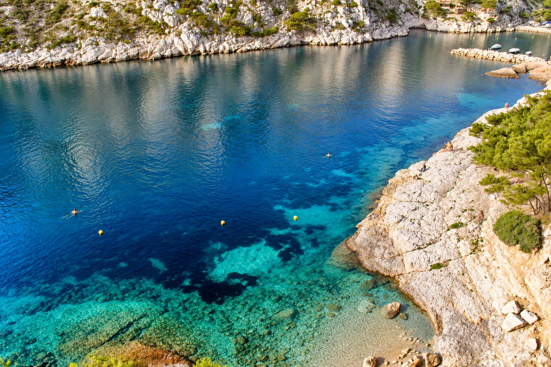
Between Sormiou and Sugiton, in the 9th arrondissement, Morgiou is a narrow, deep calanque, closed at its head by a small fishing harbour and a cluster of cabanons. Unlike its neighbour Sormiou, it is inhabited all year round. People come to swim from a small pebble beach or the rocks, to hike towards Cap Morgiou or Sugiton, to climb, or to eat fish facing the boats.
Why go to Morgiou
- A real fishermen’s harbour, geared from the outset towards professional fishing, with its pointus and its cabanons.
- A swim in cool water, from a small pebble beach or the surrounding rocks.
- Waymarked hikes to Cap Morgiou and the Anse de la Triperie, or to Sugiton on the GR.
- A place steeped in history: King Louis XIII came here to fish for tuna in 1622.
The calanque
More deeply enclosed and more discreet than Sormiou, Morgiou is exposed to the mistral, and the lack of a spring long limited the number of dwellings. Around thirty cabanon dwellers still live here according to the National Park; the Tourist Office speaks of about 120 cabanons and 40 permanent residents. The cabanons have no electricity.
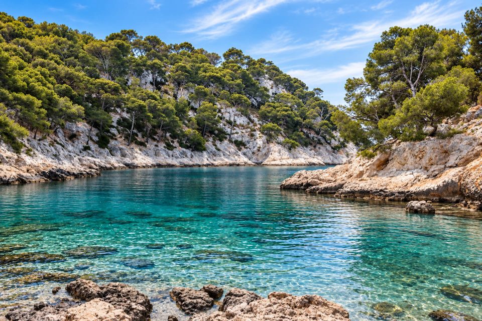
For a swim, there is a small pebble beach a few minutes from the harbour; it fills up quickly in summer, and then people fall back on the rocks. The water is cool, as in all the calanques. The beach has no lifeguards (only Sormiou and Saint-Estève do in the National Park), but the City of Marseille monitors the water quality. Do not count on toilets or bins.
The only address in the calanque, the Nautic Bar overlooks the little harbour and serves fish and Provençal produce. The Tourist Office specifies that cards are not accepted there.
Getting there
By bus. Take RTM line 22 from Rond-Point du Prado metro station (line 2), towards Les Baumettes, to the terminus, on the chemin de Morgiou. The National Park then reckons on about 1 hr on foot by the road and the paths. The effort comes mainly on the way back, uphill and often in the sun: bring plenty of water, a hat and proper shoes.
By car. The Morgiou road, built in the late 1950s as a fire defence road, crosses a steep pass before plunging down towards the calanque. It is closed to motor vehicles from 7:00 to 19:00 during the fine-weather season, by decision of the City of Marseille: in 2026, many days from April to early June (Fridays, weekends, public holidays and long weekends), every day from 12 June to 30 August, then Saturdays and Sundays in September. Only emergency services and authorised users, that is residents with a permit, can then get through. Even outside closures, the Park reports that the road is often jammed at peak times and at weekends.
On foot from the neighbouring calanques. The GR 51-98 crosses Morgiou: to the east, it reaches Sugiton in about 45 minutes, on a path of worn, slippery rocks; to the west, it climbs to the Col du Renard, towards Cap Morgiou and Sormiou.
By sea. Cruises from the Vieux-Port sail past the calanque, without dropping passengers off.
Good to know
- Fire risk: from 1st June to 30 September, access to the massifs depends each day on a decision by the prefecture, published at around 18:00 for the following day (Mes Calanques app, prefecture website). On a red day, access to the National Park on foot is prohibited.
- Dogs: on a lead in the National Park.
- An inhabited hamlet: respect the residents’ peace and quiet and do not park just anywhere.
- Park rules: no fires and no smoking, no bivouacking, rubbish taken home, stay on the waymarked paths. Emergencies: 112.
A little history
Morgiou’s first occupants were fishermen and a few shepherds from Mazargues. With no drinking water, the cisterns ran dry in summer and donkey trains shuttled back and forth to Mazargues: they brought up the water and carried down the fish sold at the city’s markets.
On 7 November 1622, Louis XIII came to watch tuna being fished with a madrague, at the invitation of the Prud’homie of Marseille fishermen. A staircase cut into the rock near the harbour, known as the ‘Louis XIII staircase’, recalls his visit. The coast was also watched for smuggling, hence a coastguard barracks, and defended against attacks from the sea: on the ridge, you can still see the walls of the Morgiou fort, construction of which is said to have begun in 1614. Until the fire road was built, the hamlet was linked to the city only by a cart track.
Around Morgiou
At the tip of Cap Morgiou, the sheer-sided Anse de la Triperie hides the underwater entrance to the Cosquer cave, 37 metres down. Decorated with Palaeolithic paintings and engravings, it is closed to the public; a partial replica can be visited at the Villa Méditerranée, near the Mucem. The ‘Grotte Bleue’ (Blue Cave), on the east shore, can only be seen from the sea. To the west lies the Calanque de Sormiou, to the east the Calanque de Sugiton, overlooked by the viewpoint of the same name. Climbers know the area well: Cancéou, Crêt Saint-Michel, the Renard cliff, Cap Morgiou.
Sources : Calanques National Park - City of Marseille, orders on traffic in the calanques - RTM, map of line 22 - Marseille Tourist Office - Wikipedia, Calanque de Morgiou
Nearby
 Calanque de Sugiton≈ 15 min on foot
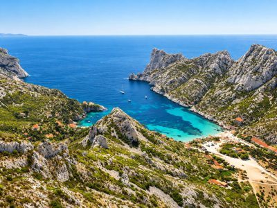 Calanque de Sormiou≈ 35 min on foot
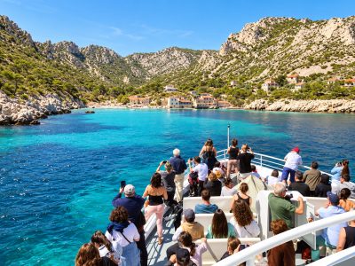 Calanque du Devenson≈ 55 min on foot
Times calculated from each guide’s coordinates.
Frequently asked questions
Can I drive to Morgiou?
Not during the road closure periods (from 7:00 to 19:00; in 2026, every day from 12 June to 30 August, many days from April to June and weekends in September), which are reserved for emergency services and authorised residents.
Which bus goes to the Calanque de Morgiou?
RTM line 22, from Rond-Point du Prado metro station to the Les Baumettes terminus, then about 1 hr on foot.
Can you swim at Morgiou?
Yes, from a small pebble beach or the rocks. There are no lifeguards.
Is there a restaurant at Morgiou?
Yes, the Nautic Bar, above the little harbour. Cards are not accepted there according to the Tourist Office.
Do I need to book to go to Morgiou?
No. Only Sugiton requires a booking in summer; do, however, check the massif access map between June and September.