Calanque de l’Eissadon
Remote creek guarded by a pierced pinnacle, with no path down to the water: to be seen from the Col de l’Eissadon or by kayak.
Contents · 7 sections
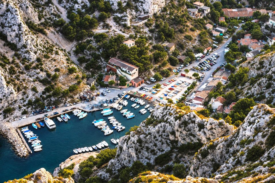
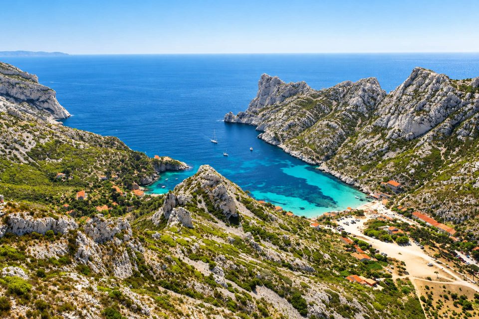
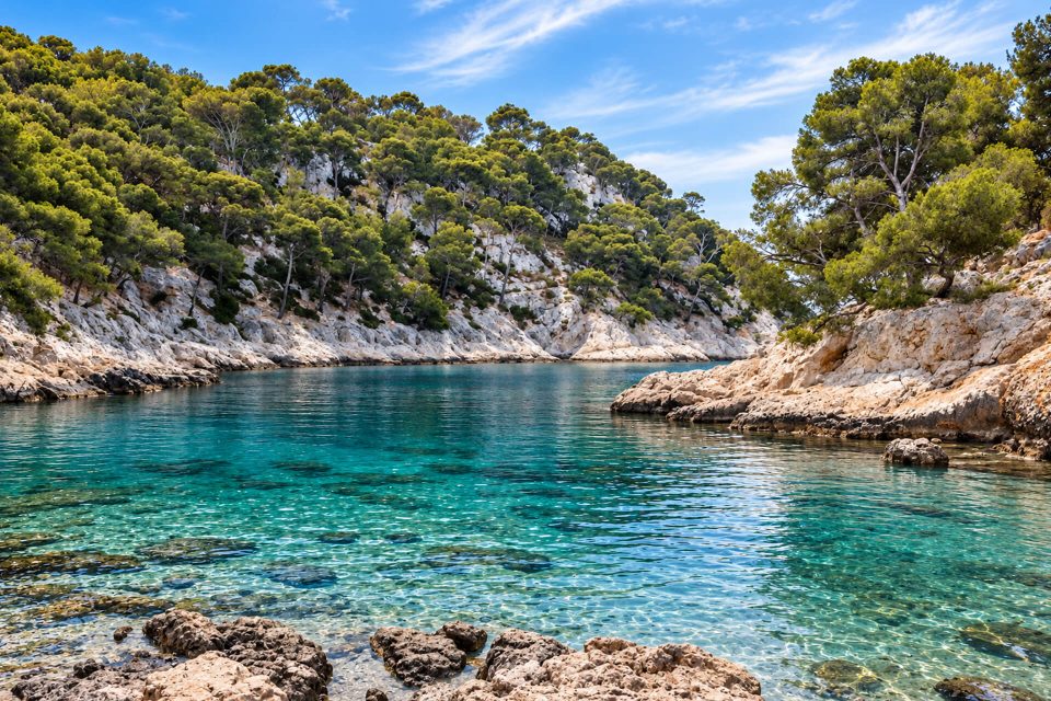
Between the Devenson and Oule calanques, within the city of Marseille (9th arrondissement), l’Eissadon is a narrow creek closed in by high cliffs and guarded by a rock pinnacle pierced right through. It is one of the most remote calanques in the National Park. Let us say it straight away: there is no hiking path down to the water. The National Park lists it among the calanques that cannot be reached by land. You admire it from a viewpoint above the cliffs, or approach it by sea.
Why it is worth a look
- The Aiguille de l’Eissadon, made famous by the photographs of the Marseille mountaineer Gaston Rébuffat, split by a fissure that kayaks pass through.
- A viewpoint at the Col de l’Eissadon and on the headland, overlooking the creek and the Devenson cliffs.
- The ‘windows of l’Eissadon’, two holes pierced in the cliff, visible from the path.
Can you walk down?
No, not as a hike. The National Park names it, along with the Devenson and l’Oule, among the calanques that cannot be reached by land. The regional tourist board states that it can be reached by boat, paddleboard or kayak, and reports the account of a regular visitor: getting down to the bottom requires rope descent techniques, with two ropes. Another media outlet states that it is impossible to walk down. We found no text formally prohibiting the descent, but it is mountaineering, above a sheer drop: do not attempt it without the skills and the equipment.
Even the path to the viewpoint calls for confidence: guidebooks describe a ‘technical’ descent, with rocky sections where you use your hands. The Park points out that the neighbouring cliffs are very steep and that gusts of wind can cause a fatal fall: stay on the waymarked path, and give up in strong winds or wet weather.
Getting there
On foot, for the view. The usual starting point is the Col de la Gardiole, above the Gineste road (D559). The access road to the pass is now closed to cars: you park at the side of the D559 and walk up to the pass. Sources differ on the walking time after that, from about 1 hr 30 to 2 hrs 30 to the viewpoint. A loop waymarked by the Park, ‘the wild heart of the Calanques’ (15 km, 5 hrs 30, graded very difficult), runs along the top of the neighbouring Devenson cliffs. Take at least 3 litres of water per person in summer.
By sea. This is the only way to reach the foot of the pinnacle, by kayak or paddleboard from Cassis, at the cost of a long crossing. In spring and autumn, there are fewer kayaks than in summer.
Good to know
- Fire risk: from 1st June to 30 September, access to the massifs depends on a daily decision by the prefecture, published at around 18:00 for the following day (Mes Calanques app). On a red day, access on foot is prohibited; so is landing.
- No facilities along the way: no water, no toilets. Emergencies: 112.
- Park rules: no fires, no bivouacking, dogs on a lead, rubbish taken home.
Around l’Eissadon
To the west rise the Devenson cliffs, nearly 250 metres high. To the east, the Calanque de l’Oule, a sheer-walled ‘cauldron’ that is also out of reach by land, can be seen from the En-Vau viewpoint. Further still, the Calanque d’En-Vau and its beach can, by contrast, be reached by waymarked paths from La Gardiole or from Cassis.
Sources : Calanques National Park - Provence-Alpes-Côte d’Azur Tourism - Paris Zigzag - Visorando - OpenStreetMap
Nearby
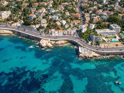
 Calanque du Devenson≈ 10 min on foot
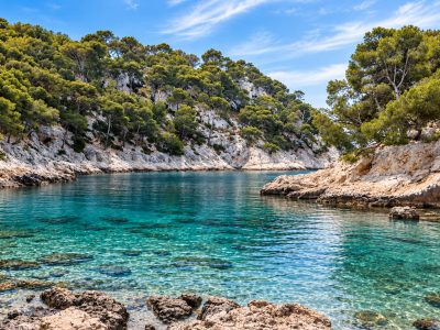
 Calanque d’En-Vau≈ 10 min on foot
 Calanque de Port-Pin≈ 30 min on foot
Times calculated from each guide’s coordinates.
Frequently asked questions
Can I walk down to the Calanque de l’Eissadon?
No, not as a hike. The National Park lists it among the calanques that cannot be reached by land; the descent requires rope techniques.
How can I see the Calanque de l’Eissadon?
From the Col de l’Eissadon viewpoint, above the cliffs, starting from the Col de la Gardiole, or from the sea by kayak or paddleboard.
How long is the walk to the Eissadon viewpoint?
Sources differ: from 1 hr 30 to 2 hrs 30 from the Col de la Gardiole, plus the climb from the D559, as the road to the pass is closed to cars.
Is the path dangerous?
It has technical rocky sections at the edge of very steep cliffs. Avoid it in strong winds or wet weather and keep to the waymarking.