Calanque du Devenson
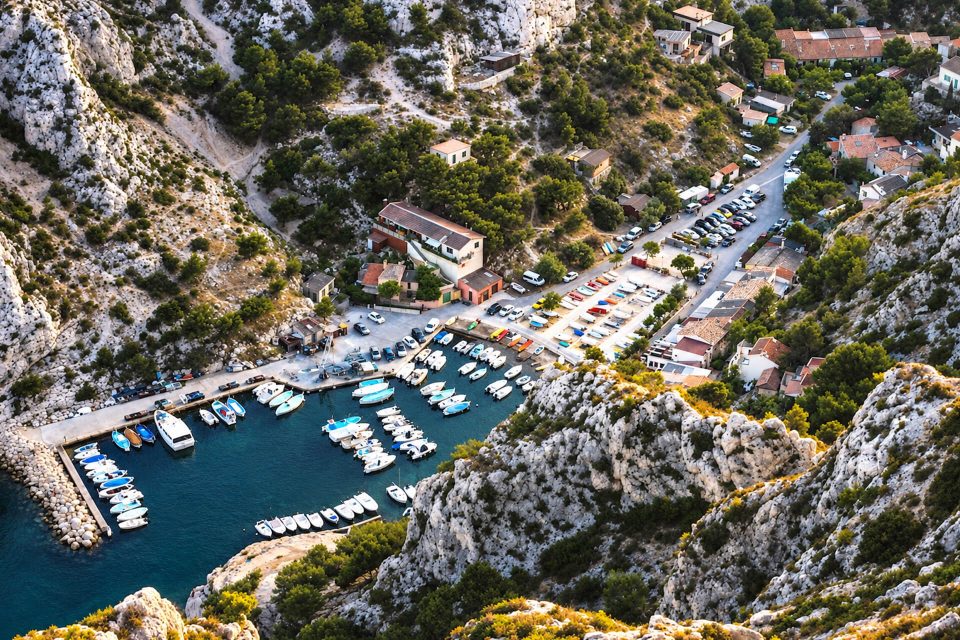
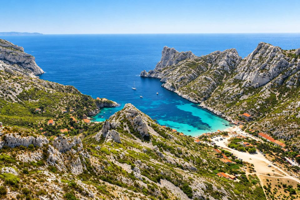
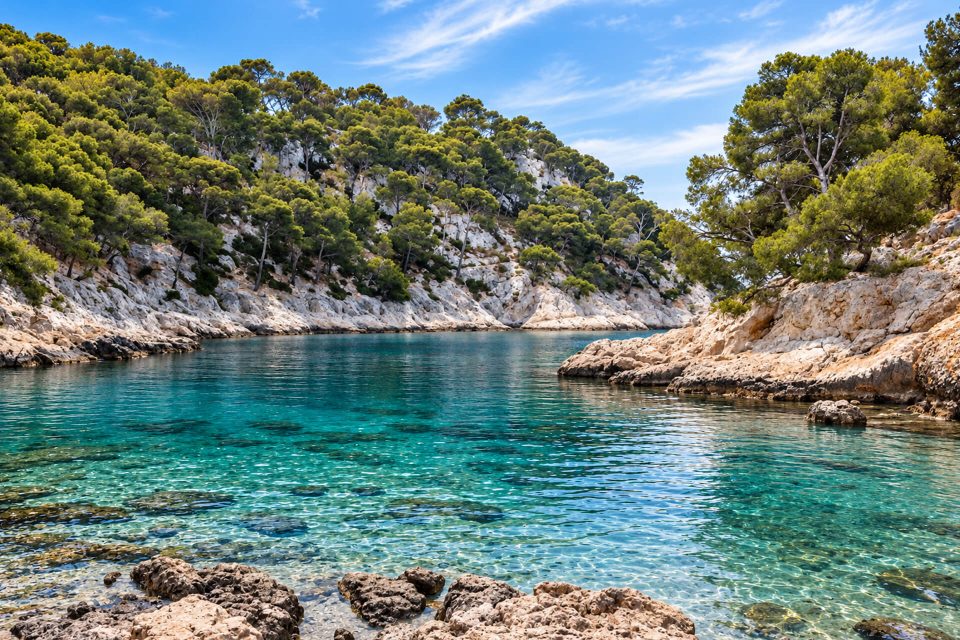
Wild calanque below 250-metre cliffs, out of reach on foot for hikers: to be seen from above or from the sea.
Contents · 7 sections
At the foot of the Devenson cliffs, between Sugiton and En-Vau, in Marseille’s 9th arrondissement, the Calanque du Devenson is one of the most isolated in the National Park. For a hiker, it needs saying clearly: you cannot walk down to the Devenson. The National Park lists it among the calanques that cannot be reached by land; the only way down overland is an exposed climbing route, where a fall can be fatal. You see it from above, from the cliff path, or from the sea.
Why it is worth a look
- The Devenson cliffs, walls and pinnacles nearly 250 metres high that plunge straight into the sea, among the wildest landscapes in the Calanques.
- The ridge path, waymarked in green, which runs along the top of the cliffs with spectacular viewpoints.
- Largely untouched nature: peregrine falcon, eagle owl, pines clinging to the cracks, and a no-take zone at the foot of the cliffs.
A calanque out of walkers’ reach
The National Park names the Devenson, along with its neighbours Saint-Jean-de-Dieu, l’Œil de Verre, l’Eissadon and l’Oule, among the calanques that cannot be reached by land. Wikipedia specifies that it can be reached by boat, by abseiling, or by the Corniche Paretti, one of the most difficult paths in the massif. Hiking guides describe climbing sections graded III to IV, narrow ledges above the void and old, partly faded waymarking; they recommend a rope, harness and helmet, and a command of belaying. We found no text prohibiting this route, but it is not a hike: it is for experienced, properly equipped climbers only.
The Park in fact issues an unambiguous warning for the area: the cliffs are very steep, sudden gusts of wind can cause a fatal fall, and you must not leave the waymarked path. Avoid it in wet weather or high winds.
Seeing the Devenson from above
From Luminy. RTM bus B1 to the Luminy PN des Calanques stop, then about 1 hr 30 on foot via the Col de Sugiton and the Col de la Candelle to approach the cliffs from the west, according to the National Park.
From the Gineste road. The Park offers a loop graded very difficult, ‘the wild heart of the Calanques’: 15 km, about 5 hrs 30 and 750 m of ascent, starting from the Logisson car park on the D559, via La Gardiole, the Crête de l’Estret and Cap Gros, then along the cliffs. In summer, take at least 3 litres of water per person.
By sea. Sea kayaking is, according to the Park, a good way to take the measure of these cliffs.
Good to know
- Fire risk: from 1st June to 30 September, check the massif access map the day before, after 18:00 (Mes Calanques app, prefecture). On a red day, you cannot enter the Park on foot.
- No facilities: take all your water; the path offers a few shelters in the shade of the pines. Emergencies: 112.
- Protected wildlife: keep quiet near the cliff faces where birds of prey nest.
Around the Devenson
The name comes from the Provençal devensoun and is said, according to the Park, to refer to the cliff face’s due-south exposure, ‘in front of’ the hill. The overland route was discovered in 1914 by Marius Paretti, whose name the Corniche has borne since 1921. The cliffs belong to the former agro-pastoral estate of La Gardiole, a state forest since 1897 managed by the ONF (National Forests Office). To the west lie the Grande Candelle and Sugiton; to the east, l’Eissadon, l’Oule and then the Calanque d’En-Vau.
Sources : Calanques National Park - Wikipedia, Calanque du Devenson - Visorando - OpenStreetMap
Nearby
 Calanque de l’Eissadon≈ 10 min on foot
 Calanque d’En-Vau≈ 20 min on foot
 Calanque de Port-Pin≈ 40 min on foot
Times calculated from each guide’s coordinates.
Frequently asked questions
Can I walk down to the Calanque du Devenson?
Not as a hike. The National Park lists it among the calanques that cannot be reached by land; the only route is the Corniche Paretti, an exposed climbing route for equipped climbers only.
Where can I see the Devenson cliffs?
From the green-waymarked path that runs along the top of the cliffs, about 1 hr 30 on foot from Luminy (bus B1), or from the sea.
Are the Devenson cliffs dangerous?
Yes: very steep cliff faces and sudden violent gusts. The National Park warns of a risk of fatal falls off the waymarked path.
Can I go there in summer?
Only on days when the prefecture allows access to the massifs; the map for the following day is published at around 18:00.